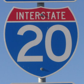
Interstate 20States traversed: Texas, Louisiana, Mississippi, Alabama, Georgia, and South Carolina
|
|
Interstate 20 runs east-west from western Texas to eastern South Carolina, serving important inland Southern cities like Dallas and Atlanta. The eastern end of Interstate 20 is in Florence, South Carolina, at Interstate 95. From there, Interstate 20 starts out heading west to Columbia, South Carolina; Augusta, Georgia; Atlanta, Georgia; and Birmingham, Alabama. At Birmingham, Interstate 20 turns southwesterly on Interstate 59, until just beyond the border between Mississippi and Alabama, at Meridian, Mississippi. There, Interstate 20 resumes heading roughly due west, alongside US Route 80. It passes through Jackson and Vicksburg to cross northern Louisiana. Interstate 20 continues running alongside US Route 80 through Shreveport into northeastern Texas. Interstate 20 flanks along the south side of Dallas and Fort Worth, with 400 miles to go until its end in western Texas. Interstate 20 reaches Abilene, then starts to drift west-southwesterly past places like Midland and Odessa. Finally, Interstate 20 merges with Interstate 10 in the western panhandle of Texas, in the middle of nowhere. El Paso is another 150 miles to the west on Interstate 10.
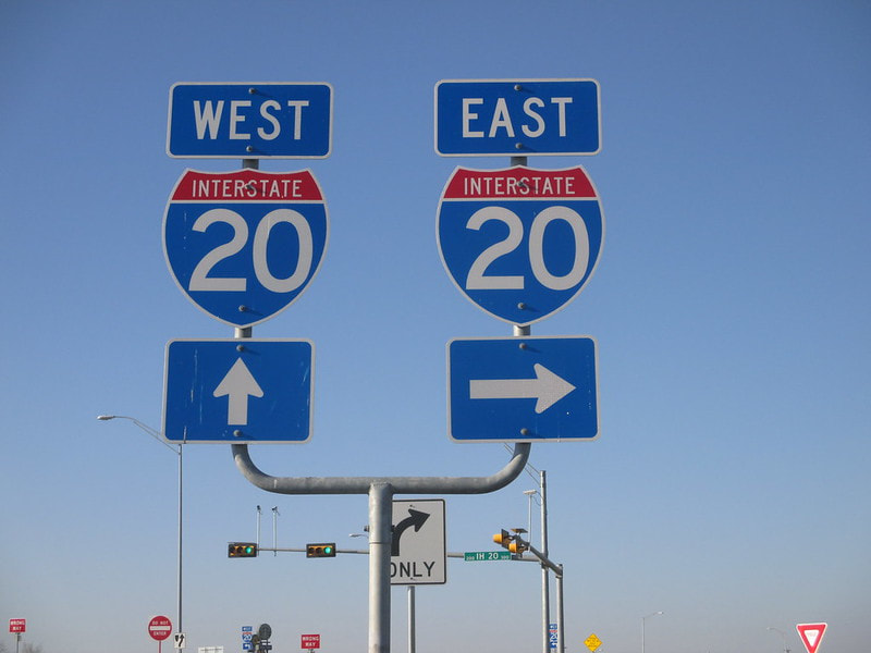
My photo of Interstate 20 comes from its junction with Texas State Highway 34, in Terrell, Texas. This is about twenty miles east of Dallas. The sign assembly in the picture faces south down Highway 34, along the ramp to Interstate 20 eastbound. This photo was taken on the return trip from the first Gulf Coast excursion from October 2014.
Back to the nationwide main page.
Back to the home page.
Back to the nationwide main page.
Back to the home page.
