Michigan Highway 62 is a route in southwestern Michigan with an unusual shape. From its southern endpoint at the Indiana border, Michigan Highway 62 heads northeasterly, then northwesterly, then westerly. The final westerly segment ends at Michigan Highway 140 near Eau Claire, Michigan. Michigan Highway 62 begins as Indiana Route 23 meets the state border at Granger, Indiana. The Michigan route goes through Edwardsburg to Cassopolis heading north-northeasterly. At Cassopolis, Michigan Highway 62 bends northwesterly to Dowagiac; and at Dowagiac, the highway enters its final westerly segment bound for Eau Claire. The western end of Michigan Highway 62 comes as it meets a junction with Michigan Highway 140 just east of Eau Claire.
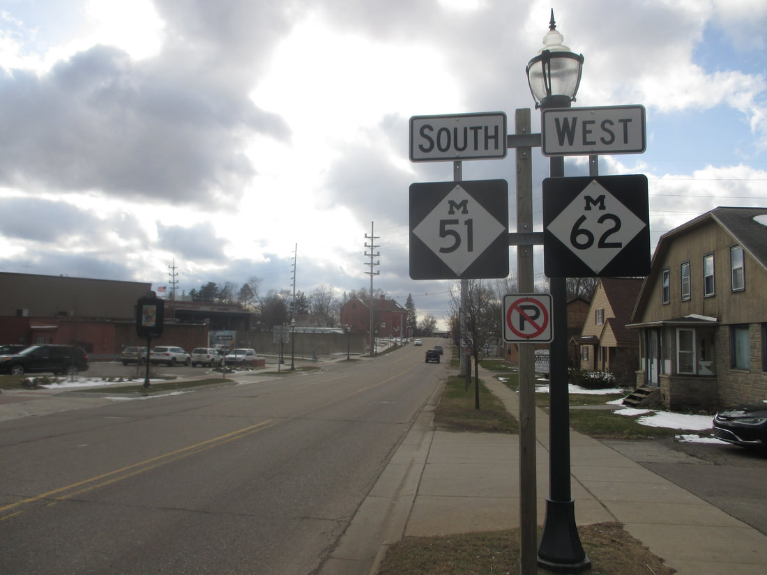
My photo of Michigan Highway 62 comes from Dowagiac, at the eastern end of a concurrency with Michigan Highway 51. In the center of Dowagiac, an intersection has Michigan Highway 62 proceeding east-west, while Michigan Highway 51 comes from the north to join Michigan Highway 62 westerly. The signage depicted is the first announcement of the conjoining of the two routes, facing east for westbound traffic leaving the intersection. This photo was taken in April 2018 during a short drive around inland southwest Michigan.
Back to the Michigan main page.
Back to the home page.
Back to the Michigan main page.
Back to the home page.
