Ohio State Route 560 is a short north-south route that mills about in an area just west of Urbana, Ohio. It zigzags down a series of farm roads to nowhere in particular. The southern end is at Ohio Route 29. Ohio Route 560 runs southerly, turning from country road onto country road, until it crosses US Route 36. Then it runs just a little farther to end at Ohio Route 55.
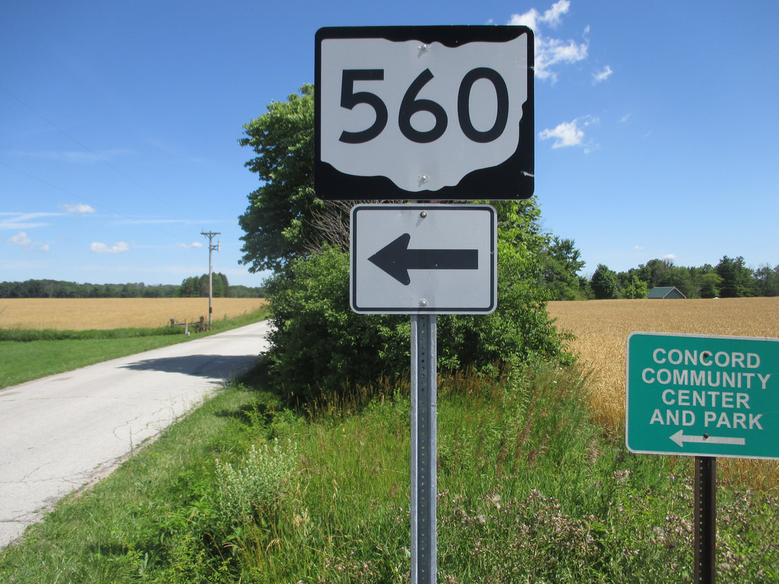
My photo for Ohio Route 560 comes from one of its various turns, at the 4-way intersection where it meets Hanna Road and Kizer Road. This intersection is a few miles south of the northern terminus, and a few miles due west of the western end of Ohio Route 296. At this 4-way intersection, Ohio Route 560 turns from the southern leg to the western leg (or vice versa). The signage depicted faces south, telling traffic on the southern leg that a turn toward the left is required to stay on the state route. This photo was taken on the way home from the Columbus area in June, 2016.
Back to Ohio Routes 500-599.
Back to the Ohio main page.
Back to the home page.
Back to Ohio Routes 500-599.
Back to the Ohio main page.
Back to the home page.
