US Route 730States traversed: Oregon and Washington
|
|
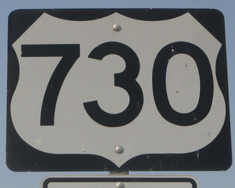
US Route 730 runs largely east-west in north-central Oregon and south-central Washington. US Route 730 is the highest number on a US Route that's in commission today, and it's a very short route. US Route 730 begins near Boardman, Oregon, at Interstate 84, which carries US Route 30 along for the ride. From there, it follows the southern bank of the Columbia River west through Irrigon and Umatilla. As the Columbia River bends north, the part of Oregon's northern border not affiliated with the Columbia River appears, and US Route 730 promptly crosses that border into Washington. US Route 730 only makes it six miles into Washington, though, before ending at US Route 12, still along the Columbia River, at Wallula Junction.
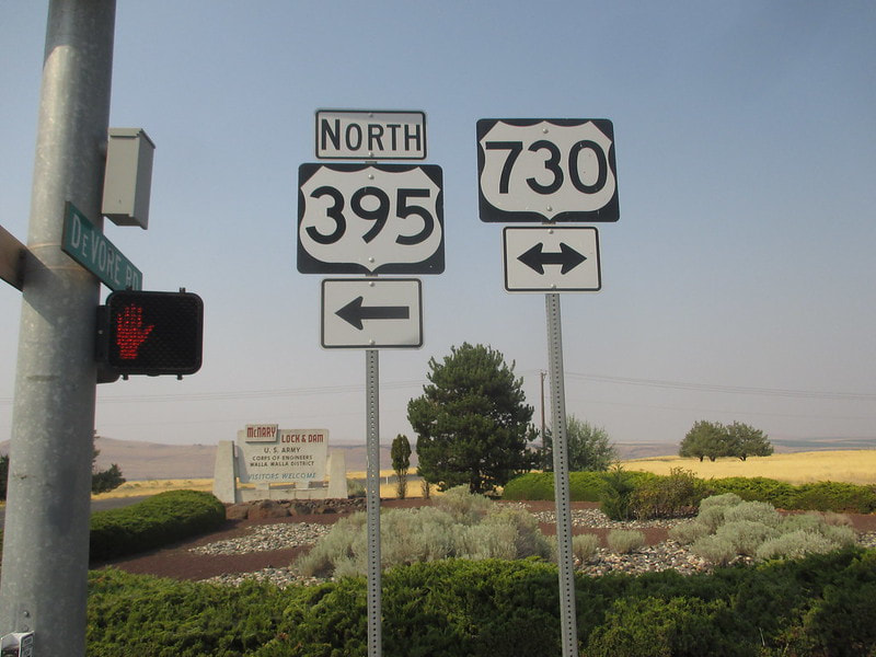
My photo from US Route 730 is from a junction in Umatilla, Oregon, where US Route 395 joins it westward for a bit. The signage depicted faces south on the northeastern corner of the intersection. US Route 395 comes from the south and heads west from here, to make the short one-minute trip west to the Interstate 82 bridge north across the Columbia River. I took this photo on the westward journey to Astoria's Pacific coastline, by way of Theodore Roosevelt National Park and Glacier National Park, in August 2018.
Back to the nationwide main page.
Back to the home page.
Back to the nationwide main page.
Back to the home page.
