US Route 180States traversed: Arizona, New Mexico, and Texas
|
|
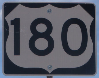
US Route 180 is a bit of a strange route, with two segments that behave differently. The eastern segment runs roughly east-west, splitting from Interstate 20 just west of Fort Worth to continue west across northwest Texas (the part that isn't the panhandle). It then joins a series of other routes, making the designation redundant. It follows US Route 62 in and out of southeastern New Mexico, then it joins Interstate 10 in El Paso to follow that freeway west to Deming, New Mexico. In Deming, US Route 180 finally does its own thing again, but the thing it does is to head northwest to end at the main area of Grand Canyon National Park's South Rim. It passes through Flagstaff before ending there.
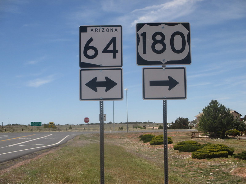
My photo of US Route 180 was taken at the point where it joins Arizona Highway 64 north for its final stretch. This intersection is just south of the Grand Canyon's South Rim area. The sign assembly faces east, and in the background of the photo, US Route 180 turns from a westerly direction to a northerly one. All of this is happening in north-central Arizona, northwest of Flagstaff and north of Interstate 40. This photo was taken in early May 2017, as part of the trip around the Grand Canyon. The Grand Canyon, however, was the last of five national parks we saw on that trip!
Back to the nationwide main page.
Back to the home page.
Back to the nationwide main page.
Back to the home page.
