Ohio State Route 669 is an east-west route in Perry and Morgan Counties, in Ohio. It heads east out of the Somerset area. Ohio Route 13 is overall a north-south highway, but its southern course jogs easterly out of town. Soon, Ohio Route 13 has the chance to correct toward the south, and at this southerly bend, Ohio Route 669 begins. Ohio Route 669 heads east to Crooksville, where it joins Ohio Route 93 south for a short spell. Then, Ohio Route 669 continues east into Morgan County. The eastward course is stymied by the Muskingum River, so Ohio Route 669 decides to turn southerly along the river's western bank. This southerly piece of the route is the last piece, and Ohio Route 669 ends at the roundabout at the west end of the bridge connecting Malta to McConnellsville. This roundabout in Malta features Ohio Routes 37 and 78.
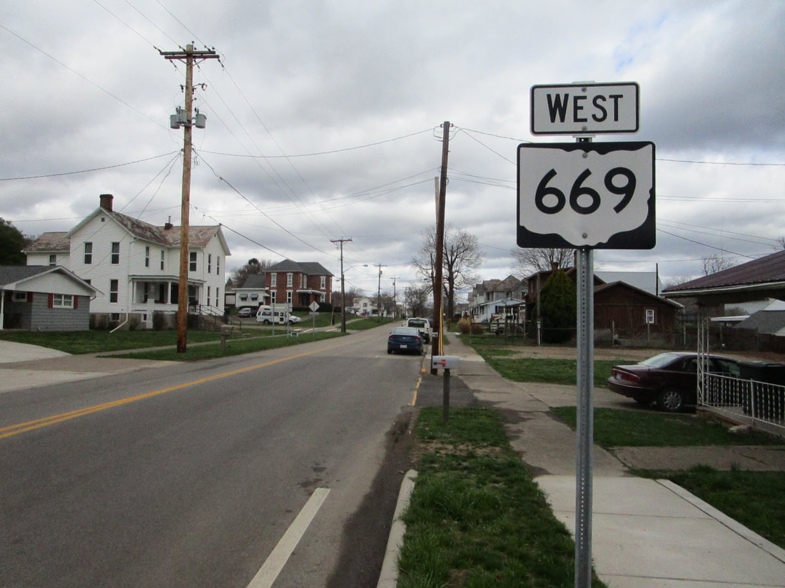
My photo for Ohio Route 669 comes from the eastern end, at the roundabout in Malta, Ohio. The aperture looks north along the beginning portion of Ohio Route 669. From this point, the route follows the western bank of the Muskingum River until it turns westward toward Crooksville. The trailblazer in the photo greets travelers who just left the roundabout involving Ohio Routes 37 and 78. This photo was taken during the southeastern Ohio trip of March 2021.
Back to Ohio Routes 600-699.
Back to the Ohio main page.
Back to the home page.
Back to Ohio Routes 600-699.
Back to the Ohio main page.
Back to the home page.
