Iowa Route 3 runs east-west across the whole width of the state, spanning what is roughly the third row of Iowa counties from the northern border. As there are nine such rows of counties that stretch from east to west across Iowa, this puts Iowa Route 3's position about a third of the way down the state, from the northern Minnesota border. This puts Iowa Route 3 sandwiched between US Route 18 and US Route 20. The western end of Iowa Route 3 is a bridge across the Big Sioux River into South Dakota, where it becomes South Dakota Highway 48. Akron, Iowa, is where that bridge crossing lies. The easternmost stretch of Iowa Route 3 bends southeasterly into Dubuque. Iowa Route 3's eastern end is an interchange in downtown Dubuque with a highway carrying US Routes 61 and 151. Towns served by Iowa Route 3 include Le Mars, Cherokee, Pocahontas, Humboldt, Waverly, and Oelwein.
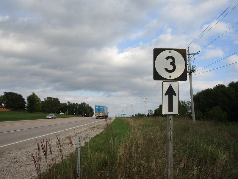
My photo of Iowa Route 3 shows a route marker at the junction of Iowa Route 3 and Iowa Route 7 east of Cherokee. The sign assembly points out the fact that continuing straight ahead will allow traffic to proceed farther eastward on Iowa Route 3. The aperture, and the drivers observing this sign, are facing east. This photo was taken in September 2019 along the northern Iowa trip.
Back to the Iowa main page.
Back to the home page.
Back to the Iowa main page.
Back to the home page.
