Ohio State Route 640 is a short east-west connector in the northeastern suburbs of Cleveland. While most routes in this area run parallel to Lake Erie's shoreline, even if they are inland, Ohio Route 640 provides a connection that runs due east-west. Ohio Route 283, the route following the shoreline most closely, provides Ohio Route 640's western starting point in Willowick. While Ohio Route 283 is heading east-northeastward to serve shoreline areas, Ohio Route 640 goes straight toward the east, meeting Ohio Route 2 and US Route 20, two other routes that parallel the diagonal orientation of the shoreline. The eastern end of Ohio Route 640 is at US Route 20 in Willoughby, at an intersection where US Route 20 occupies the southern and eastern legs. All of Ohio Route 640 is only about three and a half miles long.
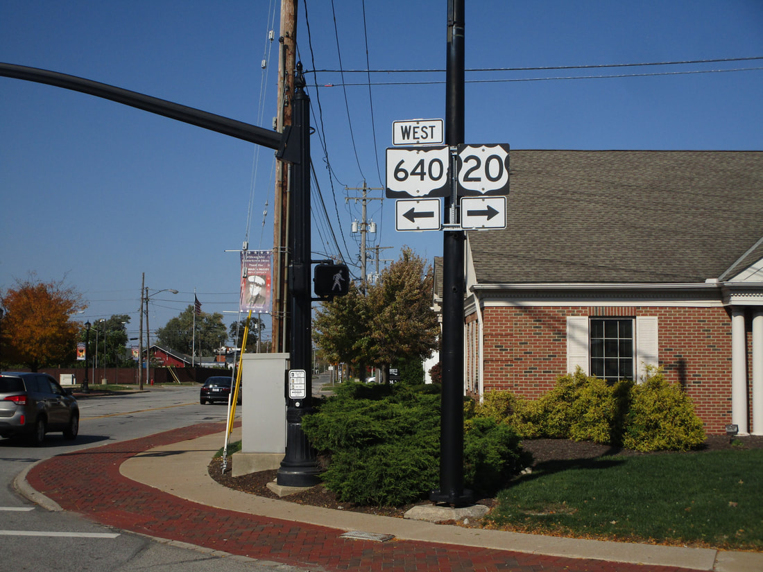
My photo for Ohio Route 640 comes from the eastern end at US Route 20 in Willoughby. The photo looks north at some signage on the northeast corner that serves northbound traffic approaching this intersection. Traffic heading northbound into this intersection is on US Route 20, and has recently rounded a corner from northeastward to a short northward jog. At this intersection, US Route 20 straightens back out into an eastward direction, but it also catches the eastern end of the length of Ohio Route 640. This photo was taken as I was touring around northeastern Ohio in October 2022.
Back to Ohio Routes 600-699.
Back to the Ohio main page.
Back to the home page.
Back to Ohio Routes 600-699.
Back to the Ohio main page.
Back to the home page.
